
Commercial Drone Roof Inspection in Topeka, KS
Home / Commercial Roofing Services / Commercial Drone Roof Inspection
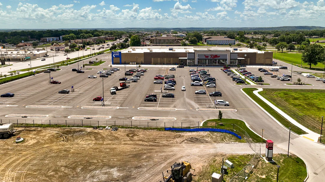
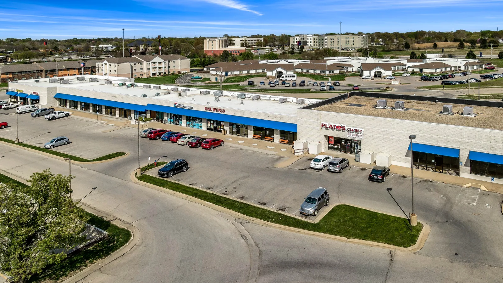
Aerial images can help map a large roof before a crew chooses a walking route. We use drone views to document visible seams, equipment, ponding, edges, and access constraints, then mark where direct inspection is still needed. In Topeka, summer storms, winter precipitation, and about 36.5 inches of annual precipitation make drainage and dry-in details worth reviewing across each section. Central Crossing Commerce Park combines industrial property with rail and airport access; a roof in the West Topeka Retail Area may have different occupancy and staging limits. The property contact sets the mission and the next decision.
Plan: What can aerial imaging answer?
We define the question before flying: roof-zone layout, visible debris, ponding patterns, suspected storm impact, or areas blocked from a ground view. The contact confirms site permission, active operations, people below, equipment, and any restricted areas. We select a flight window that supports useful images and safe coordination. A hands-on roof inspection remains part of the plan when a seam, flashing, fastener, or attachment needs close review.
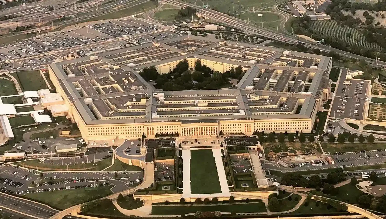
Large campuses and industrial buildings can have roof areas that are difficult to scan from one access point. Aerial photographs can show equipment spacing, parapets, rooftop paths, and where water appears to collect. They do not prove the source of a leak or the condition of layers under the membrane. We label image zones against a roof plan so the facilities lead can connect each view with an address, elevation, and interior report.
Conditions: When should the flight wait?
Wind, precipitation, temperature, visibility, and activity at the property affect whether a useful flight can proceed. Topeka’s severe-weather archive documents hail and wind events, and winter conditions can leave roof surfaces or access routes unsafe. We check current site conditions, coordinate the work window, and reschedule when images would be incomplete or the operation is not safe. A flight record notes the date, area covered, and any roof zones not captured.
At a property with regular truck movement, deliveries, or public access, the site contact identifies a clear ground boundary and who will pause activity if needed. Central Crossing’s local setting includes rail service and adjacency to Topeka Regional Airport, while each tenant controls its own roof and operating rules. We agree on the staging point and ground spotter before launch. Images stay tied to the property record and do not become evidence of a condition outside the captured area.
Review: What needs a person on the roof?
Images may show displaced metal, debris, open areas, ponding, or visible wear, but they cannot test adhesion, probe a seam, confirm fastener engagement, or identify wet insulation. We compare the aerial view with roof plans, leak locations, and previous photos. If a detail needs touch, measurement, or an opening, we list it for a controlled visit. An infrared moisture survey may help screen selected areas when the assembly and conditions support that method.
For a suspected leak, we do not draw the repair boundary from the camera view alone. The interior report, roof slope, drain path, curbs, seams, and penetrations guide a hands-on trace. A leak investigation can follow the likely path and define a test. If hail or wind is reported, the images can preserve initial appearance; a storm inspection checks the actual materials and documents what the images could not confirm.
Deliverable: How are images turned into work?
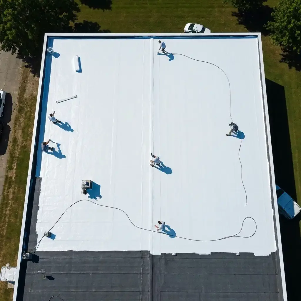
We organize images by roof section, label visible features, and note date, view angle, access limits, and follow-up items. A broad overhead image helps orient the owner; close views show details that require inspection. The report separates observed surface conditions from questions that need testing or a person on the roof. We identify areas where a roof plan, maintenance file, or access approval would improve the next review. For a portfolio, use the same view angles across visits where access allows. Keep image dates, marked copies, and inspection photos tied to separate properties. A facilities lead can compare whether a visible area changed without treating shadow or seasonal debris as damage. If a detail remains unclear, send its marked image to the site contact before scheduling a crew. Confirm hatch access, safety route, and any escort need. The next visit should answer a named condition question and add results to the same roof map. List every area that remains out of view.
Where the images show a likely repair candidate, we define what needs to be checked before material is selected. A repair proposal should follow the confirmed assembly and boundary. For broader planning, the condition record can keep image references with inspection notes, while an asset review can track separate buildings without blending findings between addresses.
Limits: What does the image set not establish?
Aerial imagery is a visual record from a particular date and flight path. It does not establish hidden moisture, attachment, structural capacity, warranty status, or a complete condition for a roof area outside the images. We state where glare, equipment, shadow, weather, or access prevented a clear view. An annotated image can guide the return walk, but the field report follows the detail after an inspector reaches and checks it. If an owner needs a repair decision, we identify what inspection or test would close the gap rather than treating the image as a diagnosis.
Topeka’s 1966 tornado damaged or destroyed every building at Washburn University, an important local severe-weather record. A later aerial survey of another roof can document present visible conditions, but the owner still needs property-specific inspection after a current event. At Washburn University, operational contacts and campus access guide a visit; at any property, the current roof evidence governs repair. We keep the image set useful by tying each view to a specific section and next action.
Aerial images show visible surfaces from selected angles, not the condition beneath the membrane. Glare, parapets, rooftop equipment, trees, flight restrictions, or a steep camera angle can hide seams and flashing details. We label roof zones, note where the view was blocked, and keep image findings separate from a hands-on inspection or test result. A drone view may help identify a section for closer access, but it does not confirm wet insulation, attachment, or a leak path. The report states which next step would answer the unresolved question, so the owner can arrange roof access only where the image set leaves a meaningful gap.
Commercial Roofing Questions
Can a drone replace a hands-on roof inspection?
No. Drone imagery can map visible conditions and help plan access, but it cannot confirm attachment, probe a seam, or test concealed moisture. We identify which findings need direct inspection before setting repair limits.
What areas are useful to photograph?
Overhead views can show roof-zone layout, drainage patterns, equipment, edges, and access paths. Close views can document a visible defect, while the report notes where angle, shadow, or obstruction limits the image.
Can drone images prove hail damage?
They can preserve visible surface appearance after an event. Determining impact to a material or assembly requires closer inspection and, where needed, testing. We keep the image date and inspection findings separate.
What conditions can delay a drone roof survey?
Wind, rain, poor visibility, active site traffic, restricted areas, or an unsafe ground boundary can make the flight unsuitable. We coordinate with the property contact and record any area not captured.
How should images be used in a roof repair decision?
Use them to locate sections and plan the next inspection. We connect image labels with the roof plan, interior reports, and any hands-on findings, then base repair scope on confirmed conditions.
Related Roofing Work
Central Crossing Commerce Park
West Topeka Retail Area
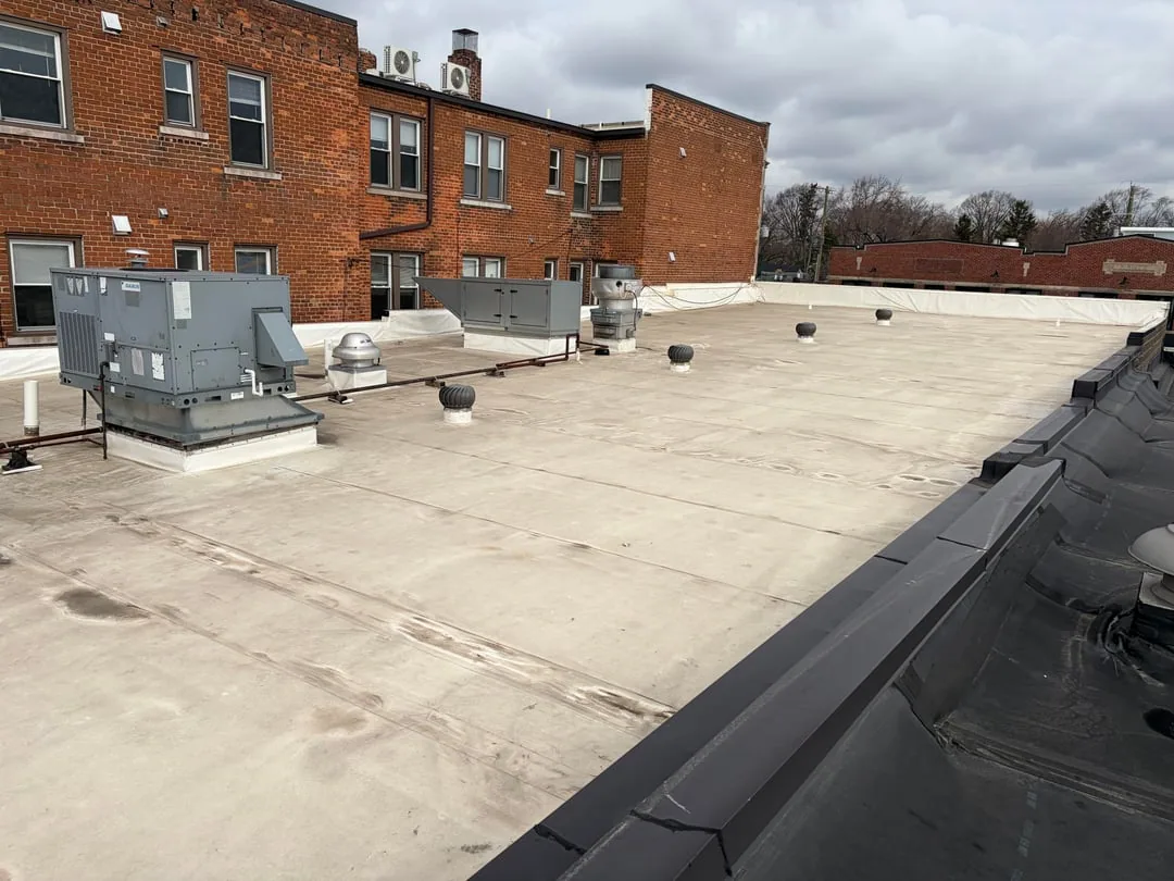
Commercial Roof Inspection
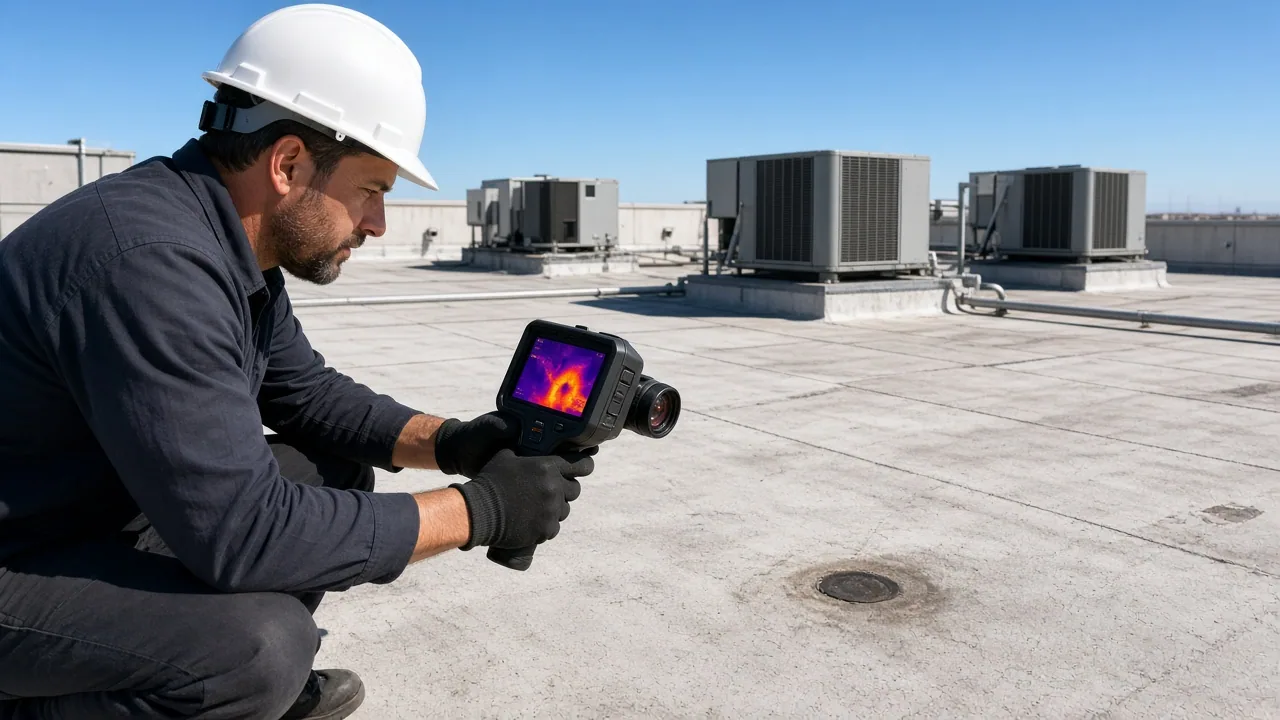
Commercial Roof Infrared Moisture Survey
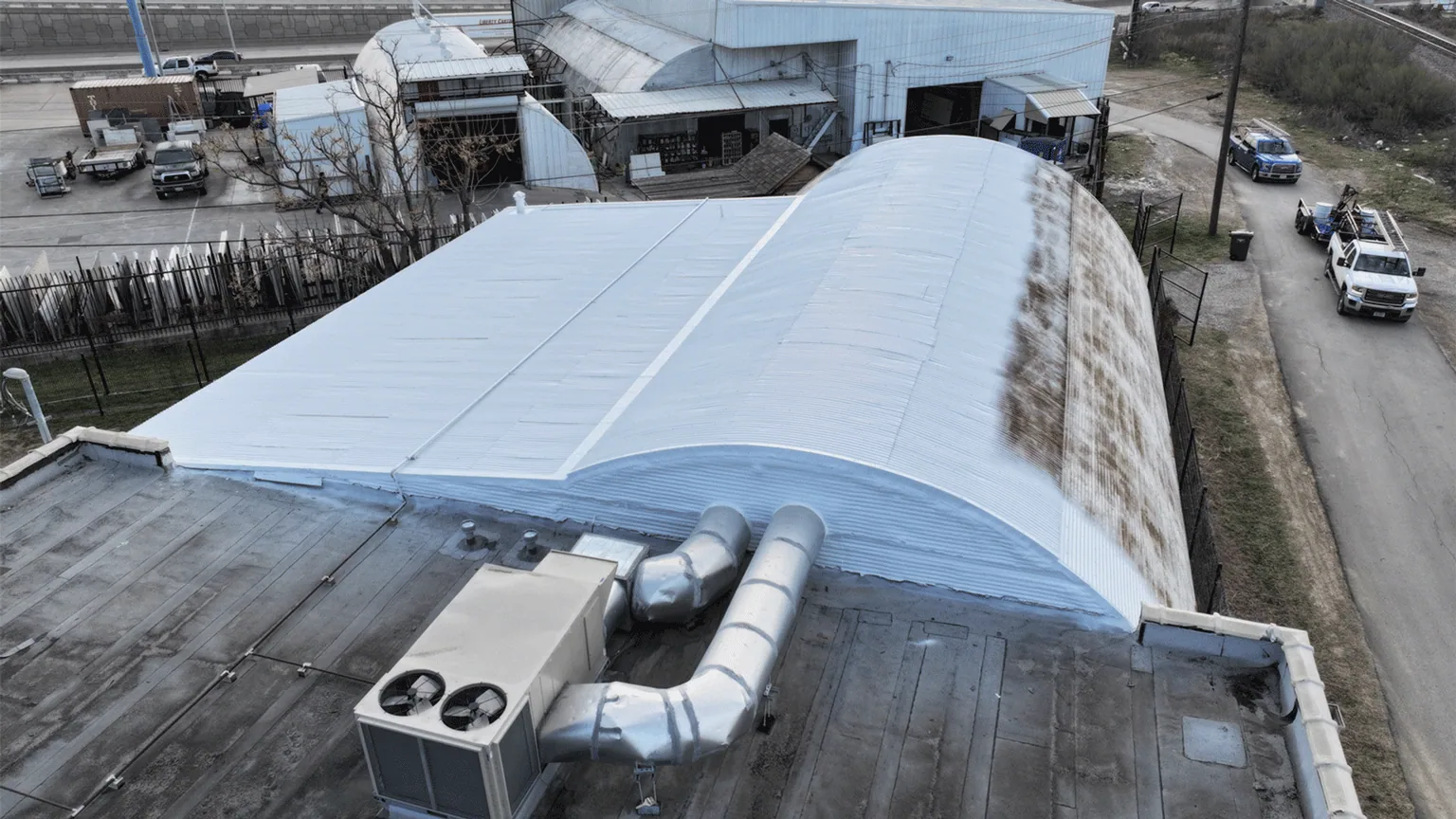
Commercial Roof Leak Repair
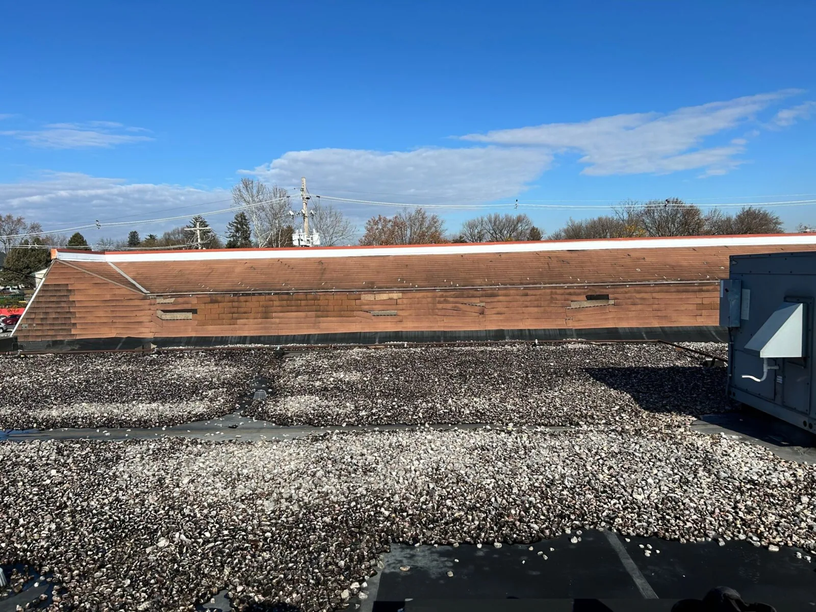
Storm Damage Roof Repair
Plan a drone roof survey
Service Area
Topeka, Auburn, Silver Lake, Carbondale, Rossville and Shawnee County, KS
Quick Contact
Email: [email protected]
Phone: 555-555-5555
Request a Roof Assessment
Send the Topeka address, roof concern, access contact, available roof plan, and preferred work window. We will define the image areas, coordinate site conditions, and identify any hands-on inspection or testing needed next.